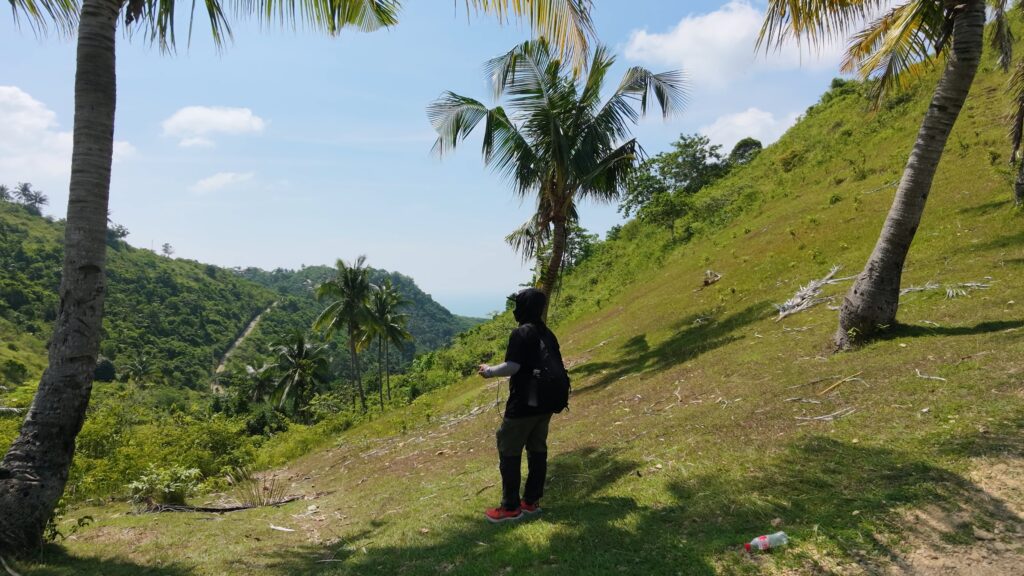
AI is becoming more common in hiking and outdoor planning.
It can summarize routes, compare information from different sources, suggest equipment, estimate travel time, and help organize what a hiker needs to prepare.
beesayatv also uses AI.
It is useful for reviewing field notes, organizing collected data, identifying patterns, and helping turn measurements into information that is easier to understand.
The important part is knowing where AI should stop.
A Recent Example
A recent rescue on Mount Shasta in Northern California involved hikers who reportedly relied heavily on AI while planning their climb.
Mount Shasta is a 14,179-foot volcanic mountain in the Cascade Range.
According to authorities, the hikers used Google Gemini for route planning and decisions about what supplies to bring. Their trip lasted much longer than expected, they descended late, went off-route, and eventually needed rescue.
The problem is not simply that AI was used.
The problem is treating generated advice as if it were the same as current field conditions.
What AI Cannot See
A trail can change between one visit and the next. A dirt road may have been concreted. A narrow path may already be covered by vegetation.
A river crossing may be shallow during dry weather and difficult after several days of rain. A section with mobile signal on an old report may no longer have reliable coverage.
Maps, websites, and old trail reports can only reflect information that has already been recorded. AI works from those same sources. It cannot see what is physically there unless someone first collects that information.
Where AI Helps
AI is useful after field data has been gathered.
It can help compare routes, summarize observations, identify changes between visits, and look for patterns across many kilometers of recorded trail.
It may also help classify trail surfaces or identify areas where conditions appear unusual. This can save time when working with a growing archive.
But the original field record remains more important than the interpretation.
Keeping the Raw Record
beesayatv records things such as GPS tracks, LTE connectivity, trail surface, and video from the route. These records show what was actually encountered at the time.
An automated system may later interpret that information. Sometimes it will be wrong. A cemented road, for example, may be classified as a trail.
That mistake can be corrected if the original data is still available. If the raw observation is replaced by the AI interpretation, the original record is lost.
Fieldwork Comes First
AI can be useful in hiking. It can help prepare, organize, compare, and interpret.
But it should not be treated as a substitute for current maps, recent local information, weather conditions, official advisories, or direct observation.
For beesayatv, the field remains the source. AI helps make sense of what the field recorded.