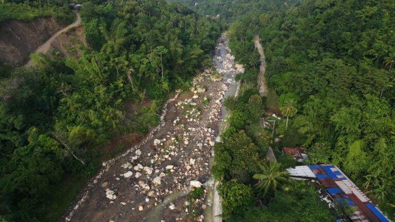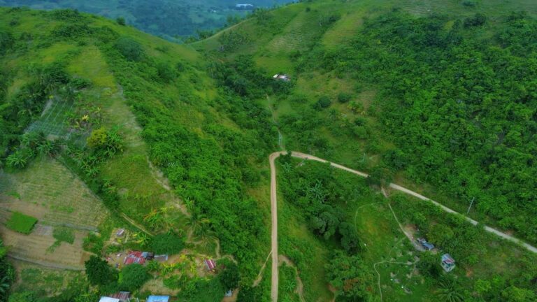
Pangilatan Peak Vicinity | Drone Survey
The 2026 drone survey begins in Purok 1, a community near Pangilatan Peak, following the mountain road through the surrounding hillsides before ascending toward the summit. Aerial footage documents the rural community, winding access roads, cultivated slopes, and open grassland leading to the peak.
Read More