Alpaco Trail Loop is a 12 km loop hike in Pinamungahan, Cebu, connecting Veloso Lake, Purok Hoybesan, Bandilaan, and Alpaco. The route follows a combination of rural roads and community trails with straightforward navigation. While the terrain is generally non-technical, the distance and extended exposed sections require moderate physical effort.
Trail Snapshot
Access
The documented hike began near the trail leading to Veloso Lake, which was reached via a concrete road. Motorcycle parking was available along the roadside, and no parking fee was observed during the hike. Private vehicles could access the jump-off point, while public transportation was very limited. Habal-habal services were available.
The documented jump-off provided the quickest access to Veloso Lake but required a short hike, as four-wheel vehicles could not pass the narrow access trail. The other documented approaches to the lake were via Sibago and Alpaco.
Why this trail is rated Mild
Route Description
The route follows a long but straightforward loop through Veloso Lake, Purok Hoybesan, Bandilaan, and Alpaco. Navigation was easy throughout the hike, with occasional encounters with local residents. Most of the route was non-technical, although the overall distance and long exposed sections made the hike more demanding, particularly during hot weather.
Approximately 80% of the route followed concrete roads with very little shade. Habal-habal vehicles regularly passed through these roads, making it possible to shorten the hike if necessary.
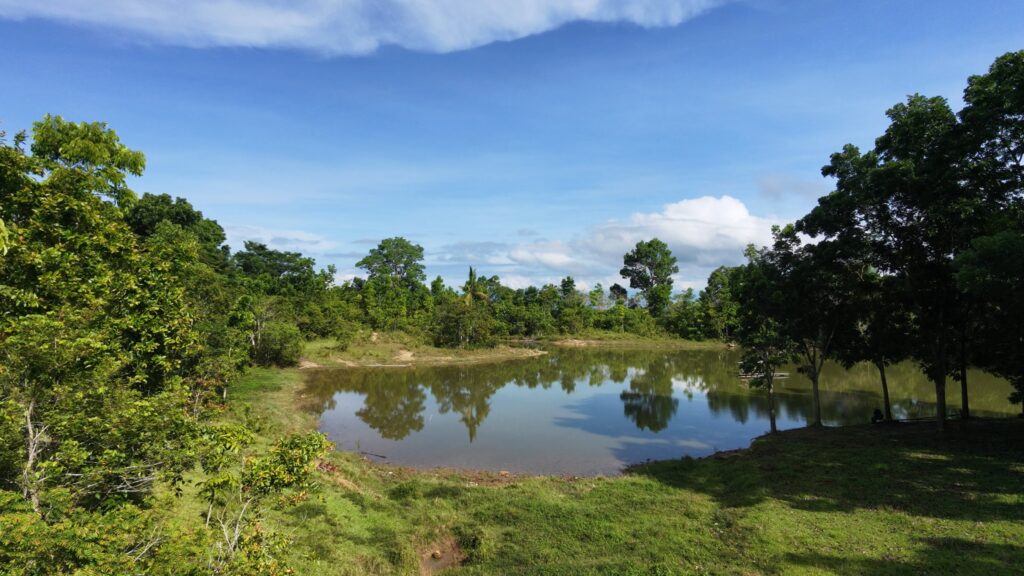
Veloso Lake forms part of the route, although the documented hike treats it as a short detour within the larger loop.
Trail Conditions
Conditions during the documented hike were cloudy, with a mix of dry and muddy trail sections. Most of the route was exposed, with limited shade. Stores were available near several communities along the route.
Mobile signal was strong near the start before becoming intermittent farther along the route. Between 1 and 2 liters of water was recommended. Few people and minimal insect activity were observed during the hike.
Additional Notes
Parts of the route passed through pig-raising areas where strong livestock odors were observed.
Several dogs were encountered, particularly near homes and communities. Carrying a hiking stick and giving dogs adequate space was recommended during the documented hike.
The route passes through several communities where the local residents encountered during the hike were observed to be friendly and approachable.
Explore the Archive
Browse related field documentation by municipality, trail features, or view this trail in the Trail Atlas.