The Bitlang Trail is a documented 5.3 km point-to-point hike that starts in Sitio Tabla, Sudlon 1, Cebu City, and descends to Bonbon. I followed the descending section of the trail through farms, small mountain communities, and river sections before reaching the valley.
The terrain remained easy to follow throughout the hike, although some sections were uneven and rocky. This report covers only the downhill portion of the route, while the sustained climb back to Sitio Tabla forms part of a separate full-loop hike. I completed this hike in June 2026.
Trail Snapshot
Access
I started near the covered court in Sitio Tabla, where motorcycle parking was available along the roadside without a parking fee. The jump-off was accessible by concrete road, and private vehicles could reach the area. V-hires operated along the Transcentral Highway route, while habal-habal services were also available.
Why this trail is rated Tough
Route Description
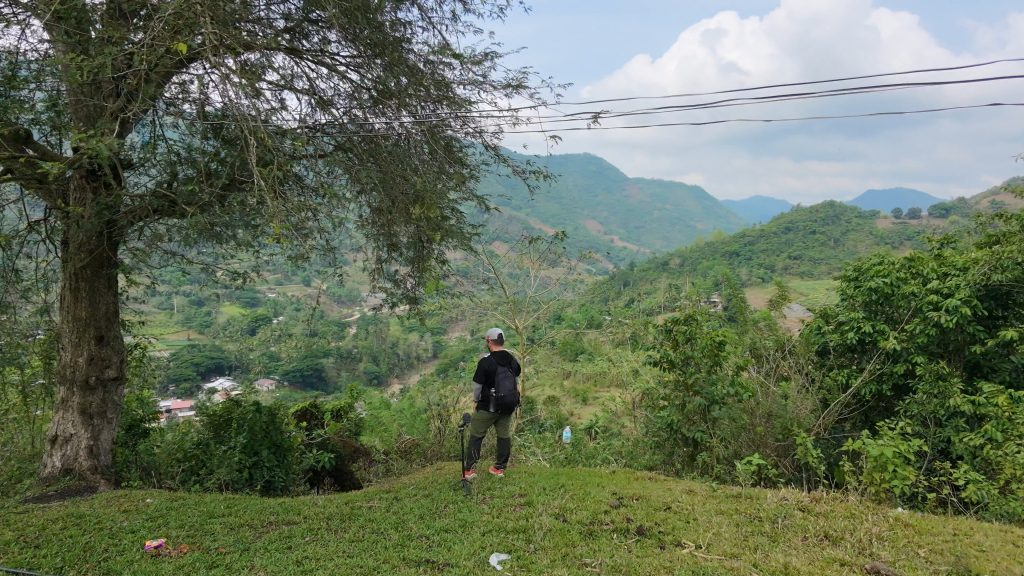
I began the hike by descending through narrow trails that gradually led toward the valley. The route passed farms, small settlements, and several river sections before reaching Bonbon. Navigation remained straightforward, although some stretches became uneven and rocky underfoot.
This report ends at the river near Bonbon. The return climb from Buot-Taup back to Sitio Tabla was not part of this hike and is covered separately. That ascent completes the full 13 km loop and consists of a sustained uphill climb lasting about 4 km.
Trail Conditions
Clouds covered the area throughout my hike. Rain the night before left the trail slightly muddy, although walking conditions remained manageable. Most of the route was exposed with limited tree cover, while stores were available whenever I passed through communities. Mobile signal started out strong before disappearing later in the hike. I did not encounter any other hikers, and mosquitoes were present in areas with denser vegetation.
Additional Notes
Although this section of the Bitlang Trail is relatively easy, completing the full loop requires enough water for the long return climb. I carried 3 liters, and I found stores between the Bitlang exit and the start of the uphill section. A trekking pole or walking stick can help with balance on the uneven terrain and reduce strain on the knees.
On sunny days, an umbrella is also useful because much of the trail has little shade. The entire route has no dangerous cliffs or exposed ridges.
Continue exploring
Data sources: Field Documentation · Open-Meteo Forecast