The Buhisan-Puti-Nomolas Community Trail Loop is a 4.31 km hiking route in Buhisan, Labangon, Cebu City, that passes through communities and connects to other hiking routes and rest stops. I hiked the loop in October 2026, starting from near Buhisan Elementary School and walking to the trailhead before beginning the main route.
The path was well-trodden, with several intersecting trails, small signs at many junctions, and sections used by local residents, children, and hikers. Along the way, I passed through shaded and exposed areas, encountered muddy and mossy sections, and came across several spots with views of the Cebu City landscape.
Trail Snapshot
Access
I parked my motorcycle near the suspended bridge, a few meters from Buhisan Elementary School. Parking was free. From there, I walked approximately 800 meters to the starting point because the route’s exit would bring me back near my parked motorcycle. Private vehicles can access the area, and habal-habal services are available, although I had no public transport option listed for this route.
Why this trail is rated Easy
Route Description
The trail was generally well-maintained and easy to follow. I passed several intersecting paths, many of which had small trail signs. The route connects with other hiking routes, including those between Starbucks, Buhisan, Pamutan, and Spartan Trail, as well as rest stops such as Bar Cramps and Starbucks.
Goats and chickens were common around the area, while I did not see any cows or carabaos. Dogs were also common near settlements, but the ones I encountered did not display hostile behavior. Hikers, local residents, and children used the paths, and I noticed motorcycle tire tracks in some sections.
Several parts of the route had large trees and dense canopy, while others were fully exposed to direct sunlight. Some sections offered approximately 180-degree views of the Cebu City landscape. Ant activity was noticeable in certain areas.
Delta Tracking
Browse approved field photos from included route locations in trail order. Photos from different visits are grouped together, with the latest photo shown first.
Location 1 of 8
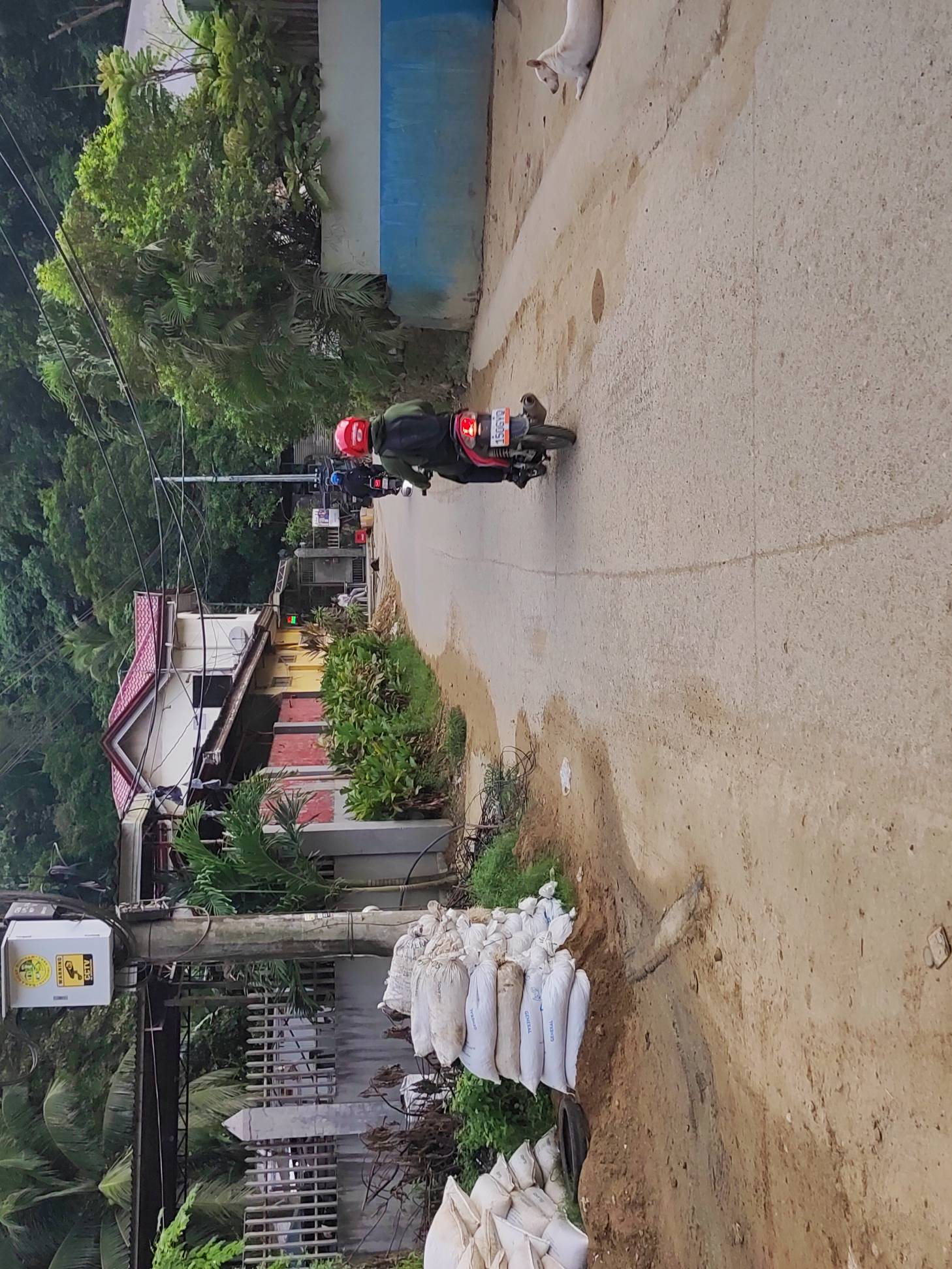
Location 2 of 8
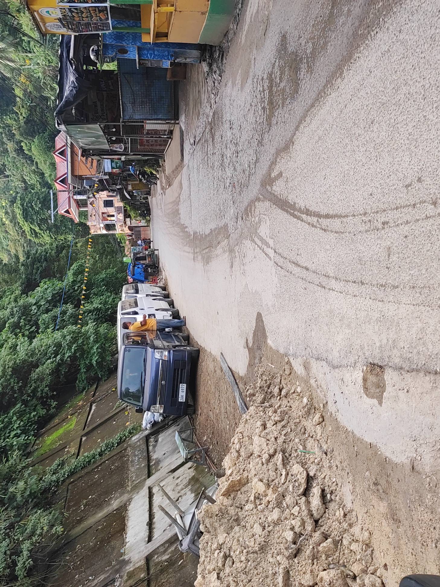
Location 3 of 8
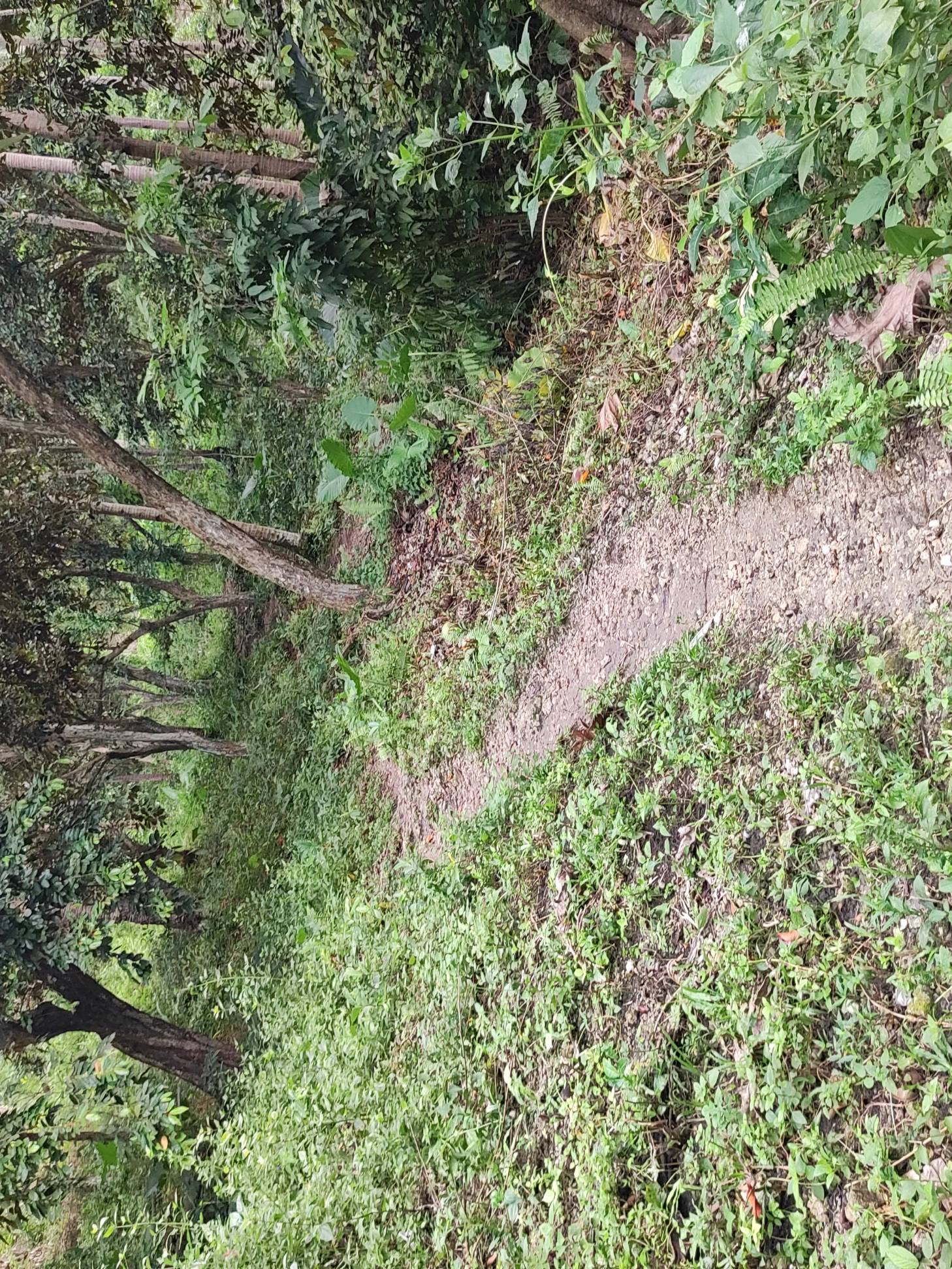
Location 4 of 8
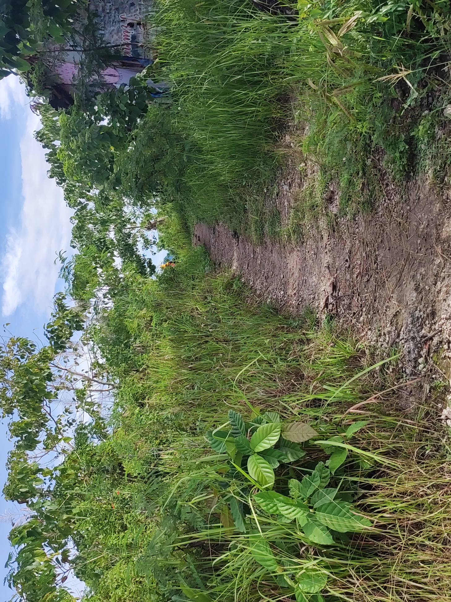
Location 5 of 8
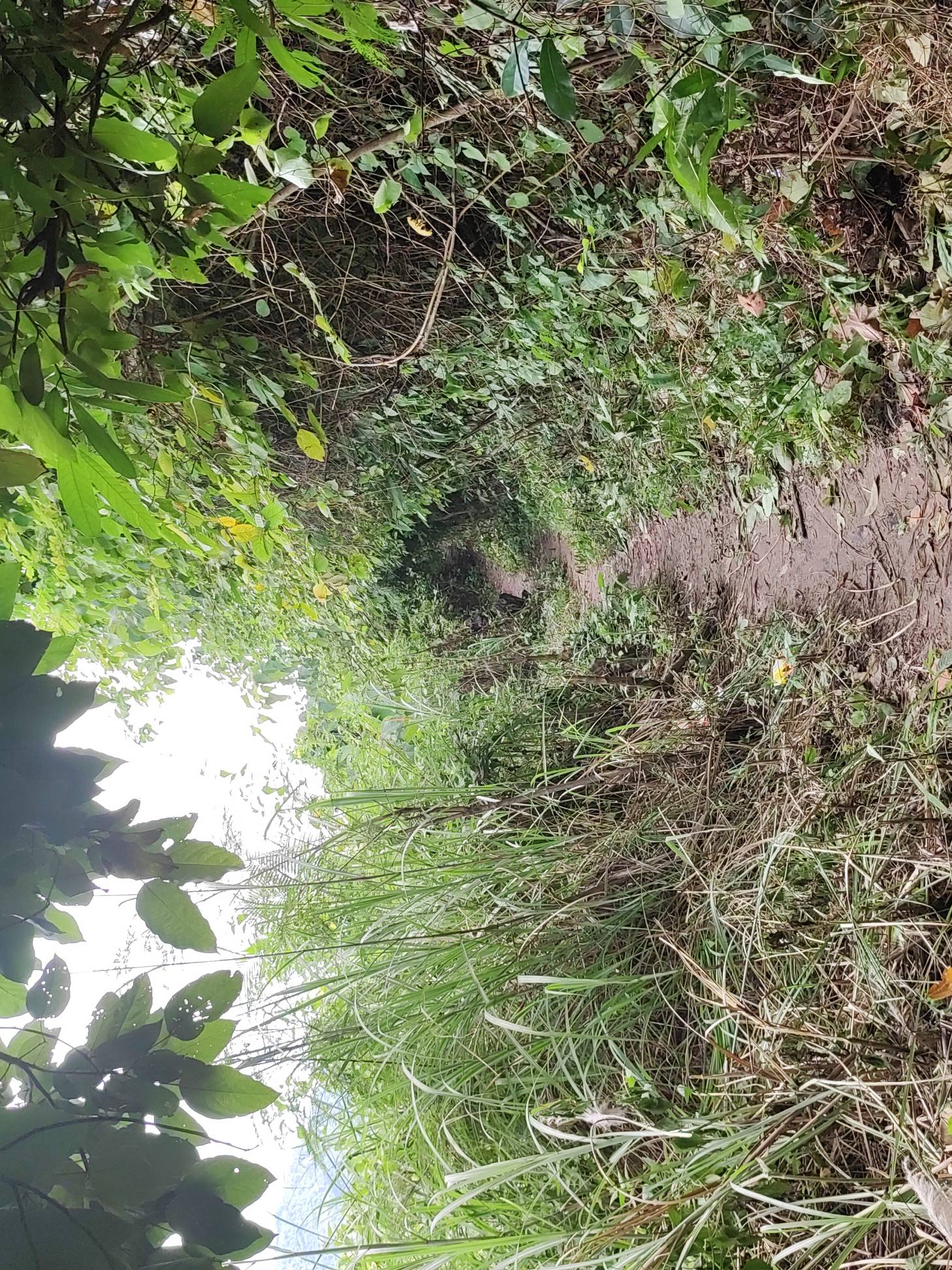
Location 6 of 8
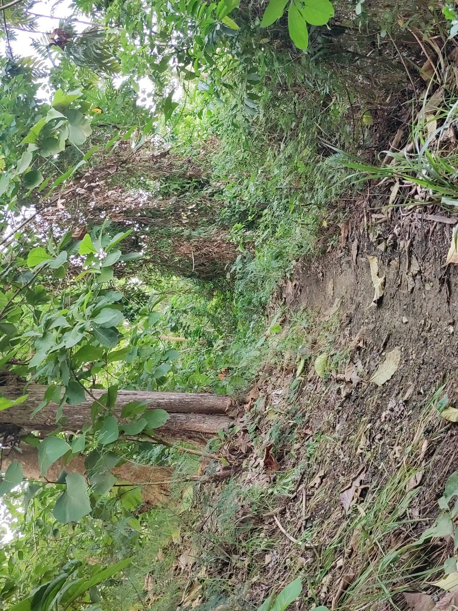
Location 7 of 8
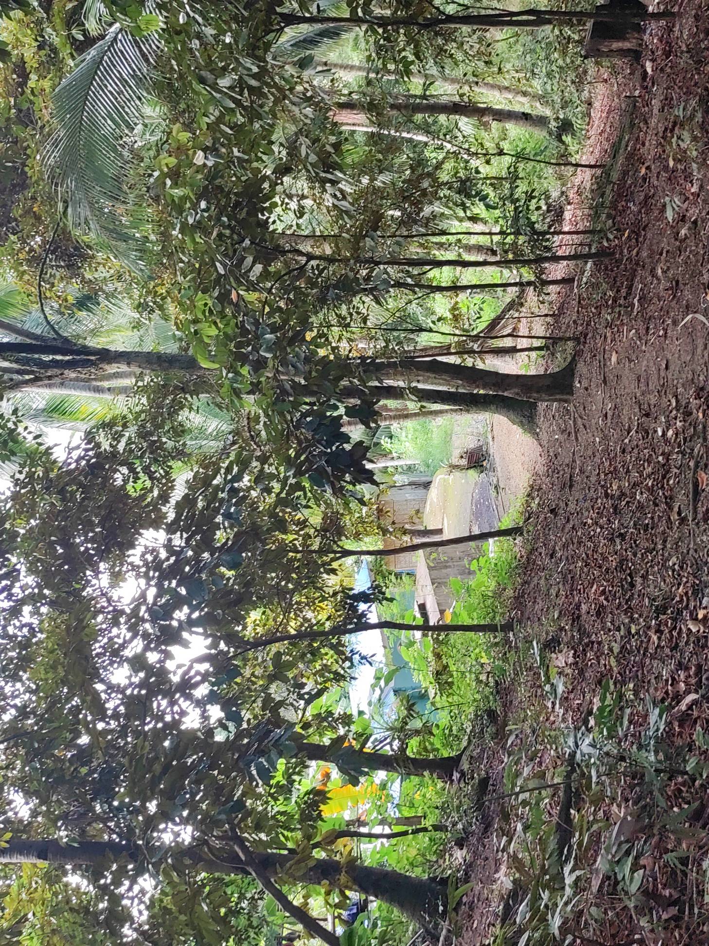
Location 8 of 8
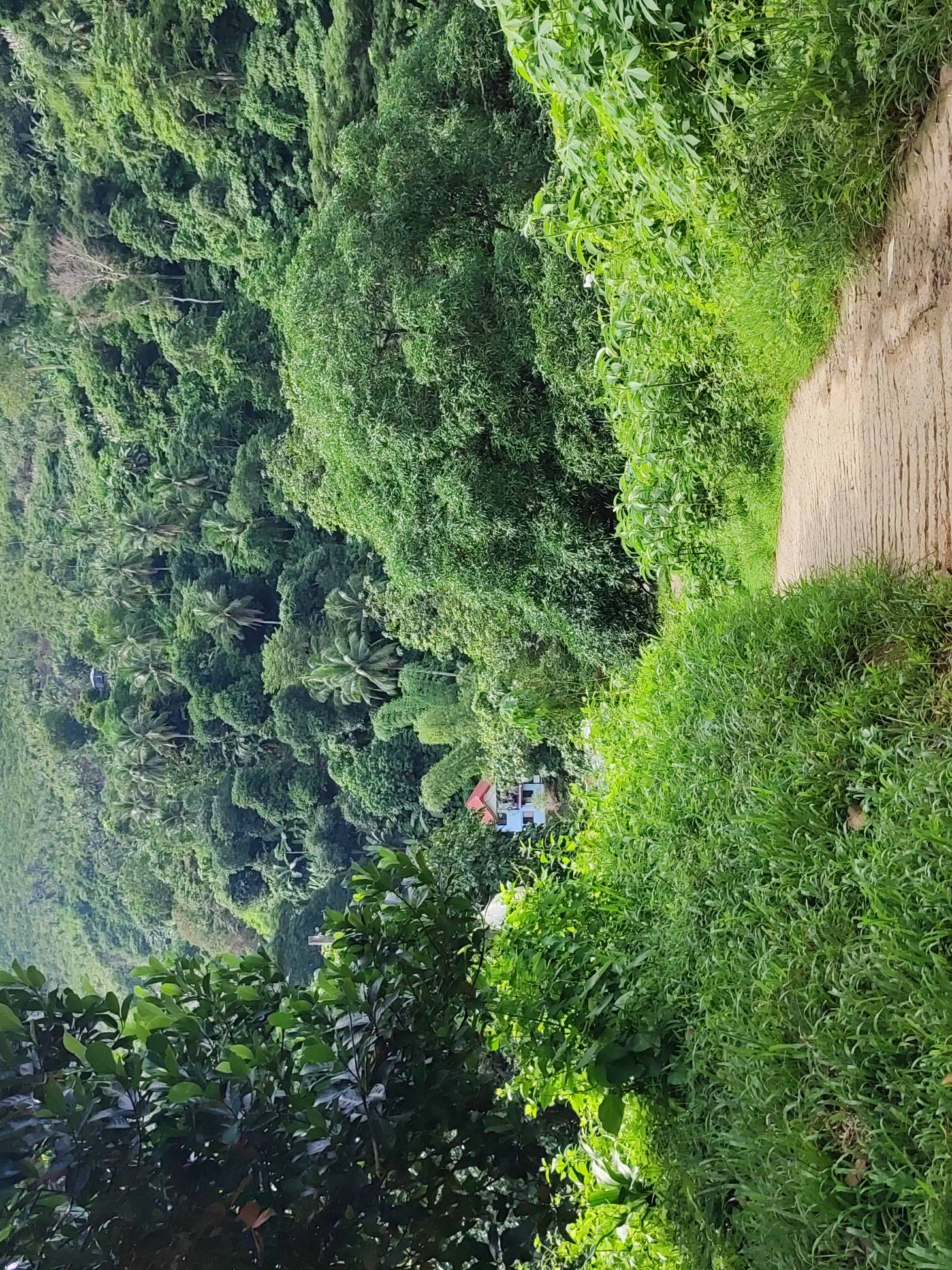
Trail Conditions
I hiked on a cloudy-to-sunny morning. The trail alternated between dry and muddy sections, with moss making some ascending and descending portions slippery. Shade varied along the route, from dense tree cover to completely exposed sections. Insects were present in a few areas, particularly ants.
The route consisted mostly of trail, with a small portion of road. I did not observe any dangerous cliff exposure during the hike. Although the paths were generally maintained, the mud and moss affected footing in some sections.
Notes
I did not observe extensive farming along the route. The area is part of a protected landscape and contains numerous large trees. The route’s connections to other hiking destinations and rest stops, together with the presence of local residents and other trail users, suggest that it sees regular use. However, I did not verify how frequently hikers use it, particularly on weekends.
Continue exploring
Data sources: Field Documentation · Open-Meteo Forecast