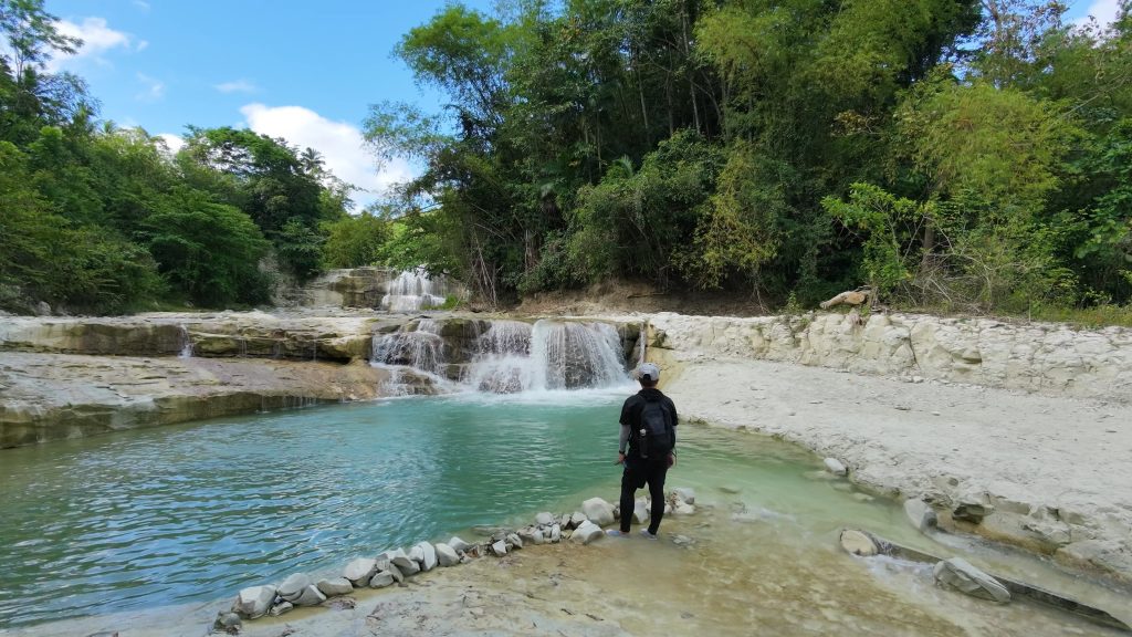
Cambanog Falls is a documented 2 km out-and-back hike in Langin, Kambanog, Dumanjug. I followed a short trail that descended through open terrain toward the river before returning along the same route. Although the approach was mostly downhill, the lower sections included a few uneven areas and short climbs before the continuous uphill walk back to the jump-off. I completed this hike in April 2026.
Trail Snapshot
Access
I started near Cambanog Elementary School, where motorcycle parking was available along the roadside without a parking fee. The jump-off was accessible by a rough road, and private vehicles could reach the area. Public transportation was limited, although habal-habal services were available.
Why this trail is rated Easy
Route Description
I began by descending toward the river on a trail that was easy to follow. The upper section gradually lost elevation before reaching a few uneven stretches and short climbs closer to the water. After reaching Cambanog Falls, I retraced the same route back to the starting point.
The return consisted of a steady uphill climb from the river to the jump-off. Even though the overall distance was short, the climb out required more effort than the approach.
Trail Conditions
The weather remained sunny throughout my hike. Most of the route was exposed with limited shade, while the trail stayed dry during my visit. Walking conditions could become muddy after rain. I found a few stores near the route, and mobile signal remained strong near the jump-off before disappearing near the river.
Additional Notes
The trail surface is mostly soil from the jump-off point to the river and can become very muddy after rain.
Continue exploring
Data sources: Field Documentation · Open-Meteo Forecast