The Camp 7–Lubas–Ylaya–Camp 8 Trail is a documented 10 km hike in Minglanilla, Cebu. I followed a route through Camp 7, Lubas, Ylaya, and Camp 8, passing a man-made forest, farmland, and rolling countryside before returning to the starting point.
The hike featured repeated gradual climbs and descents across mostly open terrain, with long views of the surrounding hills. Although navigation remained straightforward, the accumulated elevation gain and extended exposed sections made the hike more physically demanding than the terrain alone suggested. I completed this hike in May 2026.
Trail Snapshot
Access
I started from Camp 7, where motorcycle parking was available along the roadside without a parking fee. The jump-off was accessible by concrete road, and private vehicles could reach the area. Public transportation was limited, although habal-habal services were available.
Why this trail is rated Mild
Route Description
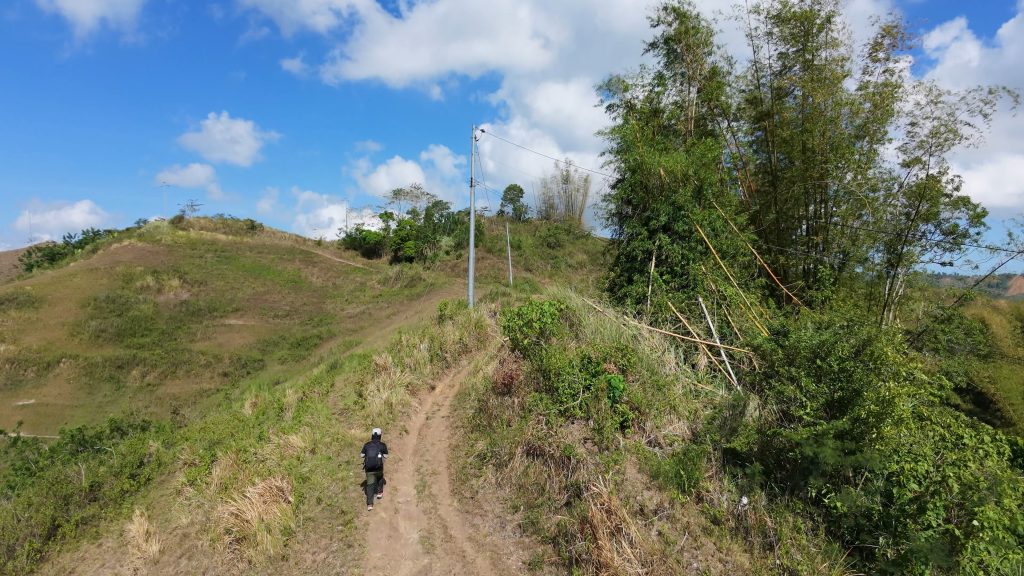
I began the hike by walking through a man-made forest, which made for a comfortable warm-up before the trail opened into farmland and rolling countryside. From there, I continued across a series of gradual climbs and descents connecting Camp 7, Lubas, Ylaya, and Camp 8. The route remained easy to follow throughout, although the repeated elevation changes gradually added to the effort as the hike progressed.
Later in the hike, longer downhill sections marked much of the return. Even though none of the individual climbs were particularly steep, the combination of distance and continuous rolling terrain made the final kilometers feel more demanding.
Trail Conditions
The weather stayed sunny throughout my hike. Most of the trail was exposed with very little shade, while the ground remained dry during my visit. The trail could become muddy after rain. Mobile signal was strong near the trailhead before becoming weak or disappearing farther along the route. I did not find any stores during the hike, encountered only a few other people, and noticed very few insects.
Additional Notes
The opening section through the man-made forest provided a gradual start before the trail entered more exposed farmland. Because the route passed through working agricultural areas, I never felt isolated during the hike.
Continue exploring
Data sources: Field Documentation · Open-Meteo Forecast