The Camp 7 Farmland Trails are a documented 7 km point-to-point hike in Camp 7 and Lubas, Minglanilla. I followed rolling farmland trails across open countryside before returning to the starting point, crossing two small rivers along the way.
The terrain remained gentle overall, with gradual elevation changes followed by a longer downhill finish. Navigation was straightforward throughout, and I completed this hike in May 2026.
Trail Snapshot
Access
I started along the roadside near the GPX starting point, where motorcycle parking was available without a parking fee. The jump-off was accessible by concrete road, and private vehicles could reach the area. Public transportation was limited, although habal-habal services were available.
Why this trail is rated Easy
Route Description
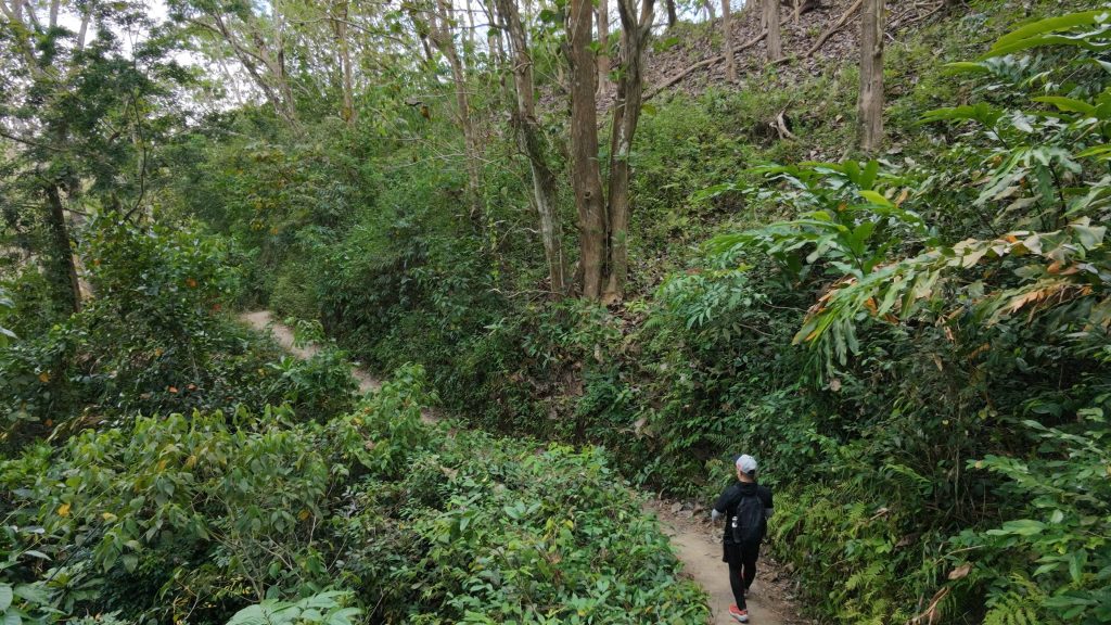
I began by following farmland trails that gradually climbed across rolling countryside. The route remained easy to follow as it crossed open terrain with gentle to moderate uphill sections. Along the way, I crossed two small rivers before continuing toward the turnaround point.
The second half of the hike gradually shifted into a longer downhill return. Although the terrain never became technical, the sustained descent felt more tiring toward the end of the hike.
Trail Conditions
The weather stayed sunny throughout my hike. Most of the trail was exposed with very little shade, while the ground remained dry during my visit. The route could become muddy after rain, especially near the beginning of the hike. Mobile signal started out strong before weakening farther along the trail. I did not find any stores, encountered very few other people, and noticed only a small number of insects.
Additional Notes
The hike started on a road that was under construction during my visit. I noted that this section could become very muddy after rainfall. One of the two river crossings could also become significantly deeper after heavy rain, although a concrete bridge was under construction when I recorded this hike in May 2026.
Continue exploring
Data sources: Field Documentation · Open-Meteo Forecast