The Camp 8 to Matun-og Falls trail is a 5.72-kilometer point-to-point community route in Minglanilla, passing through farms, local settlements, and the valley leading toward Matun-og Falls. I hiked it in August 2026, starting from Camp 8 and approaching the falls from the opposite direction of the more commonly used Guindaruhan–Taboan–Crasher Site route.
Although the distance is relatively short, I dealt with repeated climbs and descents along the way. This was my second attempt from Camp 8, and this time I reached Matun-og Falls.
Trail Snapshot
Access
I parked my motorcycle along the concrete road near the jump-off point, where there was no parking fee. Private vehicles can reach the area, while public transportation is limited. Habal-habal service is also available.
Why this trail is rated Tough
Route Description
From the jump-off point, I immediately started on a short but steep climb toward the top of the mountain. Locals use this trail regularly, so much of the route is well-trodden.
Early in the ascent, I followed a cemented staircase. Some sections were already missing, but the remaining steps made that part of the climb easier.
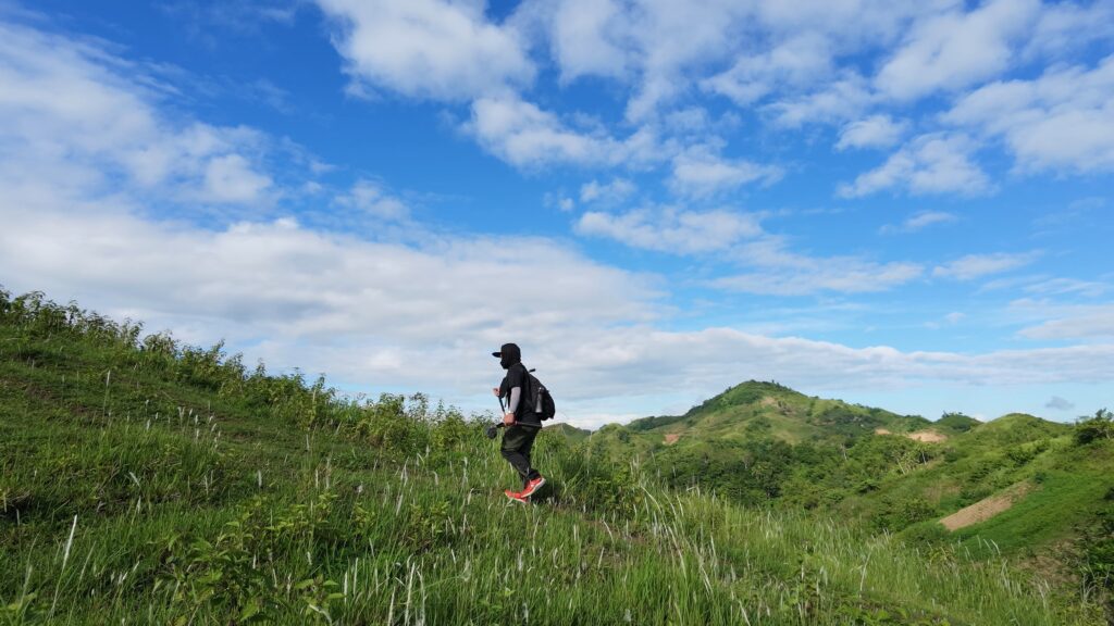
As I continued, I passed farmland planted with corn and camote. I also saw cows, goats, and a few carabaos along the route.
The trail passes through several local communities, including settlements deeper in the valley. Other sections felt more isolated because dense vegetation blocked much of the surrounding view.
Later, I descended toward the river that feeds Matun-og Falls. That section gave me the most difficulty because of the steep slope and loose surface.
Trail Conditions
The morning was sunny, and it had not rained for several days. I found the trail very dry, with loose soil that became particularly slippery during the descent toward the river. Based on the condition noted for this route, the same trail can become muddy and slippery after rain.
Shade was limited during the hike, and I did not pass any stores along the route. I encountered locals but few insects. Mobile signal was limited or absent in some sections.
There is also a significant section of river trekking before reaching Matun-og Falls. During this hike, the river section was passable, but this part of the route could become dangerous during heavy rain or a sudden rise in water level.
Additional Notes
Most hikers taking this connection travel in the opposite direction, coming from Matun-og Falls and climbing toward Camp 8. On the steep section I descended, climbing would have been easier than going down on the dry, loose soil.
For the exact route I followed, a trekking pole would have helped with the descent. I carried the expectation of needing at least two liters of water because of the limited shade and the repeated climbs and descents.
Continue exploring
Data sources: Field Documentation · Open-Meteo Forecast