The Campagao Community Trail Loop is a documented 6.78 km loop hike in Manduang, Minglanilla. I followed well-used footpaths through scattered hillside homes, open grasslands, and quiet countryside before returning to the starting point.
The route featured rolling climbs and descents instead of one sustained ascent, while the mostly open terrain provided views toward Naga, Minglanilla, and Talisay. Although navigation remained straightforward for most of the hike, the moderate distance and repeated elevation changes made it more physically demanding than a typical beginner trail. I completed this hike in July 2026.
Trail Snapshot
Access
I started near the jump-off, where motorcycle parking was available along the roadside without a parking fee. The trailhead was accessible by concrete road, and private vehicles could reach the area. Public transportation was limited, although habal-habal services were available.
Why this trail is rated Mild
Route Description
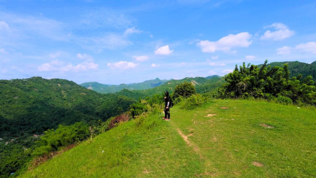
I began by following a well-trodden community trail that climbed through scattered hillside homes and open grasslands. Early in the hike, several sections opened up to views of Naga, Minglanilla, and Talisay before the route continued across rolling terrain with pockets of vegetation. Throughout the hike, I regularly passed signs of everyday community life, even in the quieter sections.
After reaching Campagao Peak, I continued around the loop before descending toward Manduang. Much of the descent followed a long concrete staircase, making navigation straightforward until I returned to the jump-off. I also passed several dogs near homes and gave them plenty of space while walking through the communities.
Trail Conditions
The weather remained sunny throughout my hike. Most of the route was exposed with limited shade, and the trail stayed dry during my visit. Mobile signal remained available from start to finish, while stores were present along the route near the communities. I mostly encountered local residents rather than other hikers, and insect activity was noticeably higher during this hike.
Additional Notes
Houses and small settlements appeared along much of the route, so I rarely felt far from the community. Farming activity was limited during my visit, although the landscape was clearly agricultural. Some sections had moderate cliff exposure, but vegetation reduced the feeling of exposure while walking.
A hiking stick can also be useful when passing the territorial dogs commonly found along the trail.
Continue exploring
Data sources: Field Documentation · Open-Meteo Forecast