The Cogon–Mt. Naupa–Balirong Trail Loop is a documented 11 km loop hike in Naga, Cebu. I followed a route that combined community trails, rural roads, and open countryside as it passed through the Mt. Naupa area before descending toward Balirong and returning to Cogon.
The hike featured rolling terrain with frequent short climbs and descents instead of one sustained ascent, creating a steady workout. Although much of the route passed near communities, a few quieter sections required extra attention where the trail became faint. I completed this hike in July 2026.
Trail Snapshot
Access
I started near Cogon Chapel, where motorcycle parking was available without a parking fee. The jump-off was accessible by concrete road, and private vehicles could reach the area. Public transportation was limited, although habal-habal services were available.
Why this trail is rated Mild
Route Description
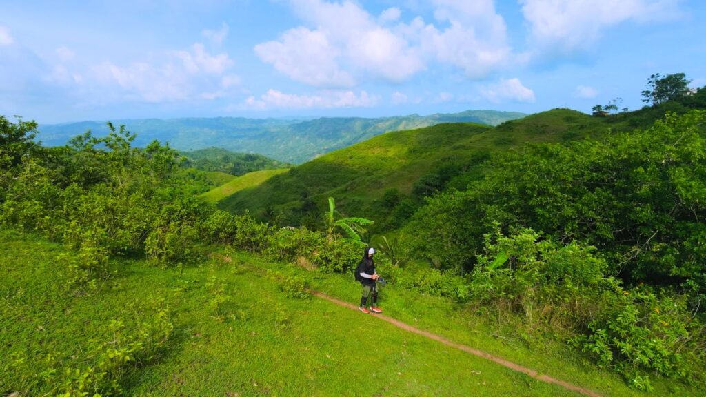
I began by following community roads and trails toward Mt. Naupa, where the route alternated between open countryside and well-used footpaths. Most of the trail was easy to follow, and I regularly crossed paths with local residents and livestock while moving through the area. Near the Mt. Naupa summit, I also encountered a few other hikers.
After leaving the Mt. Naupa area, I reached sections where cultivated farmland had replaced parts of the original trail, making it take a little longer to locate the next segment. The descent toward Balirong also included a faint section of trail that appeared to receive less foot traffic. Near the Balirong exit, I crossed a small stream before continuing toward Cogon. The final part of the hike followed Cogon Road, where a steady uphill climb led back to Cogon Chapel and completed the loop.
Trail Conditions
The weather remained cloudy throughout my hike. Much of the route was exposed with limited shade, while the trail stayed dry during my visit. Stores were available whenever I passed through communities, and mobile signal remained strong for most of the hike with only a few dead spots.
I mostly encountered local residents, along with a few hikers near Mt. Naupa, and insect activity was noticeably high. Approximately 30% of the route followed trails, while the remaining 70% used roads.
Additional Notes
The rolling terrain provided a steady rhythm of climbs and descents without any prolonged ascent or descent. During my visit, several narrow road improvement projects appeared unfinished, although I did not see any active construction work.
It was also mango season, and many plantations had fallen fruit scattered beneath the trees. Some roadside sections passed pig-raising areas where livestock odors were noticeable. I also saw cows along the route, although none blocked the trail. Throughout the hike, I had several friendly conversations with local residents, who were welcoming and helpful.
Continue exploring
Data sources: Field Documentation · Open-Meteo Forecast