The Guindaruhan–Estaka Trail Loop is a documented 3.04 km loop hike in Barangay Guindaruhan, Minglanilla. I followed a combination of quiet community roads and established footpaths that descended into the valley of Cutod Falls before returning through Estaka to complete the loop.
The route remained easy to follow throughout, despite sections where vegetation partially covered the trail. I completed this hike in March 2026 under sunny morning conditions.
Trail Snapshot
Access
I started near Guindaruhan National High School, where motorcycle parking was available along the roadside without a parking fee. The trailhead was accessible by concrete road, and private vehicles could reach the area. Public transportation was limited, although habal-habal services were available.
Why this trail is rated Easy
Route Description
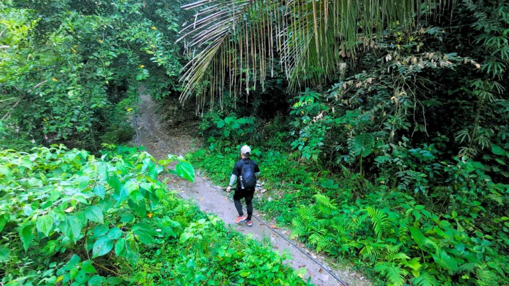
I began by walking along a gradually ascending concrete road through Barangay Guindaruhan before passing the small communities of Purok Cacao. From there, the route left the road and followed a narrow footpath descending toward Cutod Falls. Although dense vegetation covered parts of the trail during my visit, I had no difficulty following the route.
After reaching the waterfalls, I continued through the valley on well-established footpaths that local residents regularly used as a shortcut to Guindaruhan proper. The loop then climbed out through Estaka, where I followed a concrete road past more communities before returning to the starting point.
Trail Conditions
The weather remained sunny throughout my hike. Much of the route had limited shade, while the trail stayed dry during my visit. Mobile signal was strong near the start before becoming intermittent farther along the route. I found stores near the communities, encountered mostly local residents, and noticed many insects. Approximately 40% of the route followed trails, while the remaining 60% used concrete roads.
Additional Notes
The trail around Cutod Falls remained well-defined despite the overgrown vegetation in some sections. I also noticed litter around the waterfalls, even though signs reminding visitors not to leave trash were present.
Continue exploring
Data sources: Field Documentation · Open-Meteo Forecast