This route is still being explored. The Trail Atlas currently shows only the section that I was able to verify during my most recent field visit.
The exploration took place in June 2026 with the goal of verifying a downloaded GPX route that appeared to form a loop through the Buhisan forest near the Buhisan Reservoir. I was able to follow the trail deep into the forest before deciding to turn back.
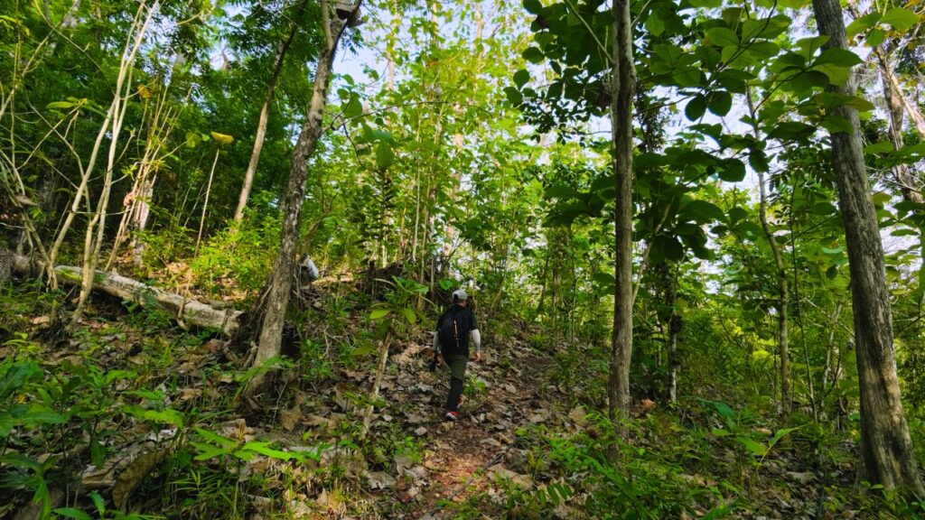
The first part of the route was well-trodden and appeared to be used regularly by both hikers and local residents. During the hike, one local resident mentioned that the loop eventually passed through a densely vegetated section, which I later reached. The trail crossed a small river where the continuation remained visible on the opposite bank. Farther ahead, however, erosion made it difficult to locate the trail, and I could no longer confidently identify where it continued. I ended the exploration at that point and retraced my steps.
Based on what I saw, the route may be easier to verify by approaching it from the opposite direction during a future field visit.
The forested section contained several spring water collection points with multiple water pipes, suggesting that local residents still access the area. I also encountered several thorny plants, and in many places the trail had become faint and difficult to distinguish. Some sections showed heavy erosion that may have resulted from strong water flow.
A future visit will require additional time. The dense vegetation and heavy tree cover make the footpaths difficult to follow, while also limiting how much can be confirmed using satellite imagery alone.
Continue exploring
Data sources: Field Documentation · Open-Meteo Forecast