This route is still being explored. The Trail Atlas currently shows only the section that I was able to verify during my most recent field visit.
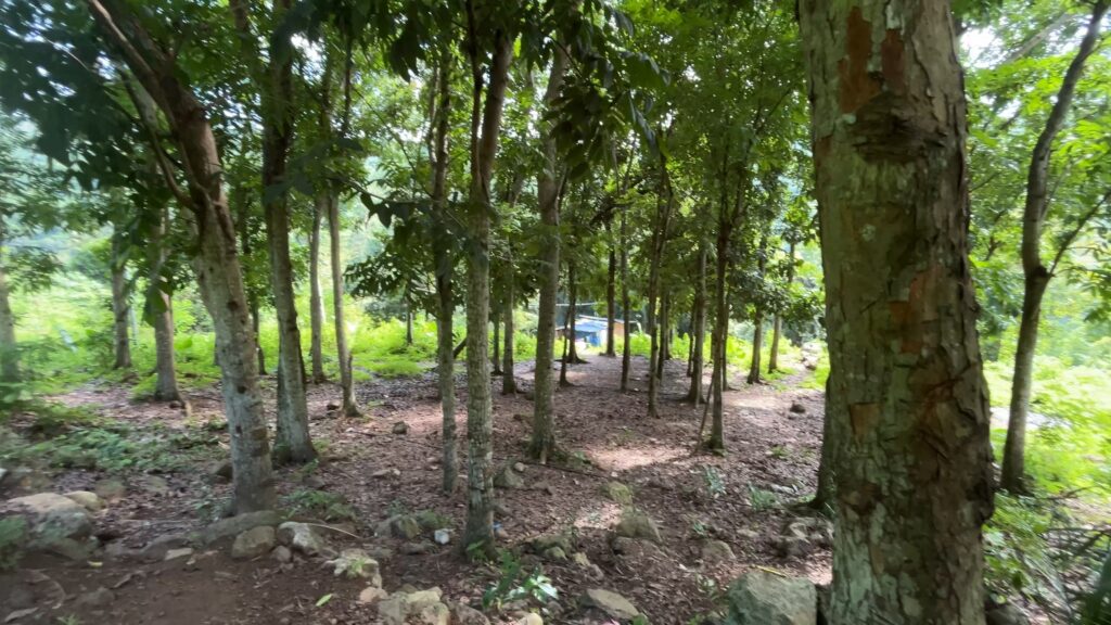
The exploration took place in July 2026 with the goal of verifying a downloaded GPX route that appeared to form a loop around Campagao Peak. I followed the route to a pocket forest with a small residential settlement before deciding to turn back.
After reaching the settlement, I asked several local residents about the continuation of the trail, but the directions I received were inconsistent. One steep trail appeared to continue uphill, although I could not confirm where it led or whether it connected to the intended loop. Rather than continue without verification, I returned by retracing the established Campagao Peak trail.
Based on what I saw, the route may be easier to verify by approaching it from the opposite direction during a future field visit.
The junction where this route branches from the Campagao Peak trail was faint and easy to miss, suggesting that relatively few people use it. A short distance beyond the junction, however, the trail became well-defined. I also noted that another trail may provide direct access to the pocket forest without passing through the Campagao Peak route.
A future visit will require additional time. Dense vegetation and tree cover obscure the footpaths, making it difficult to verify the route using satellite imagery alone.
Continue exploring
Data sources: Field Documentation · Open-Meteo Forecast