Mt. Kalatkat is a documented 3.5 km out-and-back hike in Kalangyawon, Sayao, Sibonga. I started near Kalangyawon Elementary School and followed a gradual climb through grassy mountain slopes and narrow livestock paths before returning along the same route.
The trail was easy to follow throughout and remained a straightforward walk with little technical difficulty. I completed this hike in May 2026 under sunny morning conditions.
Trail Snapshot
Access
I started near Kalangyawon Elementary School, where motorcycle parking was available along the roadside without a parking fee. The jump-off was accessible by a mix of paved and concrete roads, and private vehicles could reach the area. There was no public transportation available, although habal-habal services operated nearby. Motorcycles could also continue near the foot of the mountain, but I chose to begin at the school for a longer approach.
Why this trail is rated Easy
Route Description
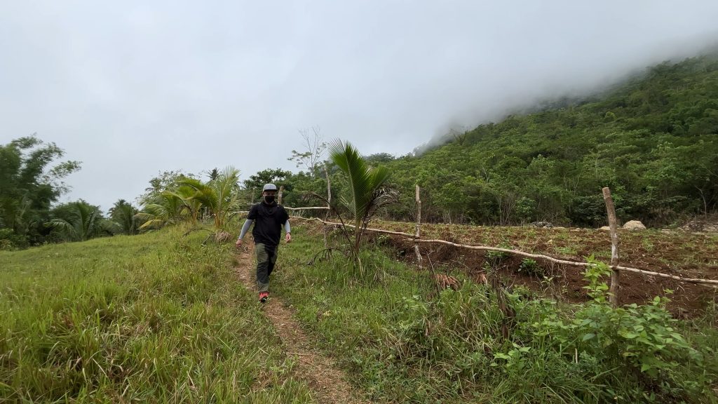
I began by walking through the community before the trail gradually climbed across grassy hillsides. Narrow footpaths used by local livestock led toward the summit, and navigation remained simple from start to finish. After reaching Mt. Kalatkat, I retraced the same route back to the jump-off.
Trail Conditions
The weather stayed sunny throughout my hike. Most of the lower sections were shaded, while the trail became more exposed as I approached the summit. The ground remained dry during my visit, and I did not find any stores along the route. Mobile signal was intermittent, the trail was quiet with very few other people around, and I only noticed a small number of insects.
Additional Notes
The trail was well-trodden because locals regularly used it to move livestock through the area. Starting from Kalangyawon Elementary School added extra walking distance, although motorcycles could reach the foot of the mountain and shorten the hike considerably.
Continue exploring
Data sources: Field Documentation · Open-Meteo Forecast