Malingin Rock is a documented 1.5 km out-and-back hike in Mulao, Liloan, leading to the Cotcot River. I followed a straightforward trail that descended through farms before reaching the river, then returned along the same route with a short but steeper uphill climb back to the jump-off.
Navigation remained simple throughout the hike, making the route easy to follow from start to finish. I completed this hike in May 2026.
Trail Snapshot
Access
I started near Mulao Barangay Hall, where motorcycle parking was available along the roadside without a parking fee. The jump-off was accessible by concrete road, and private vehicles could reach the area. There was no public transportation serving the trailhead, although habal-habal services were available. From Liloan proper, the drive to the jump-off covered about 11 km.
Why this trail is rated Easy
Route Description
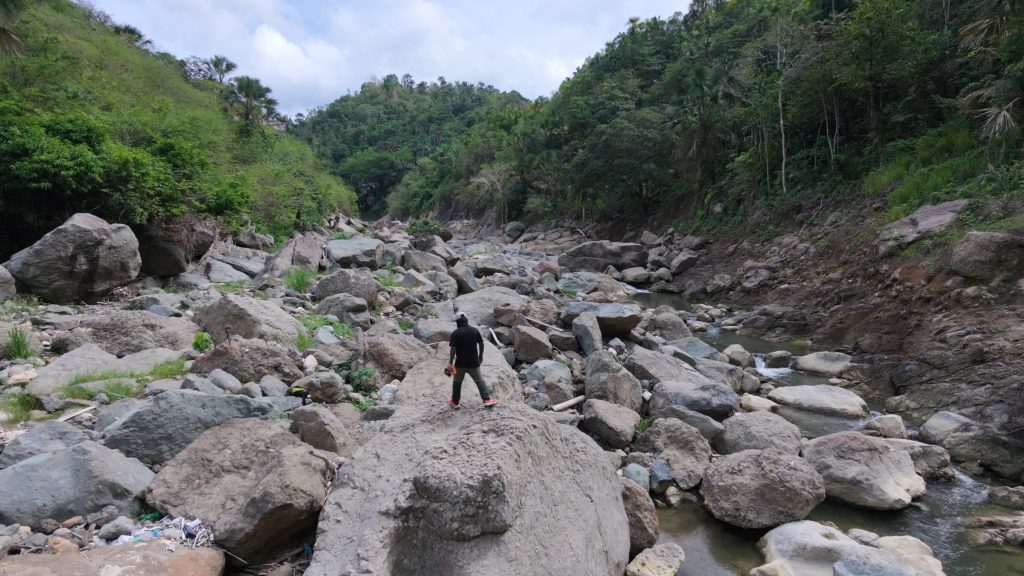
I began by descending through small farmlands toward the Cotcot River. The trail was easy to follow and gradually led downhill until I reached Malingin Rock. After spending time at the river, I retraced my steps back to the starting point. Although the hike was short, the return climb felt more tiring because it was entirely uphill.
Trail Conditions
The weather was sunny during my hike, and the trail remained dry throughout. Most of the route was shaded, although the riverside sections were more exposed. I found stores only at the jump-off, while mobile signal was strong near the start before becoming weaker closer to the river. I did not encounter other hikers, and insects were minimal.
Additional Notes
Some residents along the access road raised pigs, and I noticed occasional livestock odors before reaching the jump-off. I also noted that Malingin Rock had shifted downstream by approximately 11 meters following Typhoon Odette and Typhoon Tino. During my visit, it was much closer to the trail exit leading to the river than its previous location.
Continue exploring
Data sources: Field Documentation · Open-Meteo Forecast