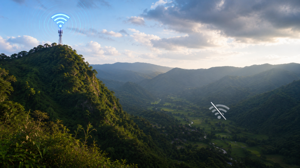
Mobile signal is one of the things that changes most quickly in the mountains.
Some sections of a trail maintain a usable connection for long periods, while others lose service only a short distance later. Because of this, the Smart LTE layer on beesayatv is based entirely on field observations rather than estimates or coverage maps.
Collected During the Hike
Signal measurements are recorded while the hike is taking place.
The data is collected automatically at regular intervals along the documented route, allowing the hike to continue without stopping to record individual readings.
Every point shown on the Trail Atlas represents a location that was physically visited during fieldwork.
Built From Field Observations
After each hike, the recorded measurements are reviewed before being added to the Trail Atlas.
Measurements that fall outside the documented hiking route, such as those collected while travelling to or from the trailhead, may be excluded so that the published layer reflects only the hike itself.
The public map then displays a simplified view showing where a usable Smart LTE connection was observed and where no service was recorded.
A Record of One Visit
Mobile coverage in the mountains is never permanent.
Weather, vegetation, terrain, and changes to the mobile network can all influence signal conditions. For that reason, the Smart LTE layer should be viewed as a record of what was observed during a particular field visit rather than a prediction of future coverage.
Like the documented hiking routes themselves, the Smart LTE layer continues to grow as additional trails are surveyed.