The Pangilatan Peak Loop is a 5.26 km loop hike located across Inayagan and Cantao-an in Naga City. I followed a route that began high on the mountain, descended toward the Metro Cebu Expressway, and circled back up past several rural communities to reach the peak.
The hike was characterized by a long, steep initial descent over fine scree and sharp rock, followed by road walking through active construction areas and local settlements. A morning haze hung across the valley during this sunny hike, which I completed in August 2026.
Trail Snapshot
Access
I started at the foot of Pangilatan Peak, where motorcycle parking was available without a fee. The jump-off point was accessible by concrete road and could be reached by private vehicle. Public transportation to the area was limited, though habal-habal services were available.
Why this trail is rated Mild
Route Description
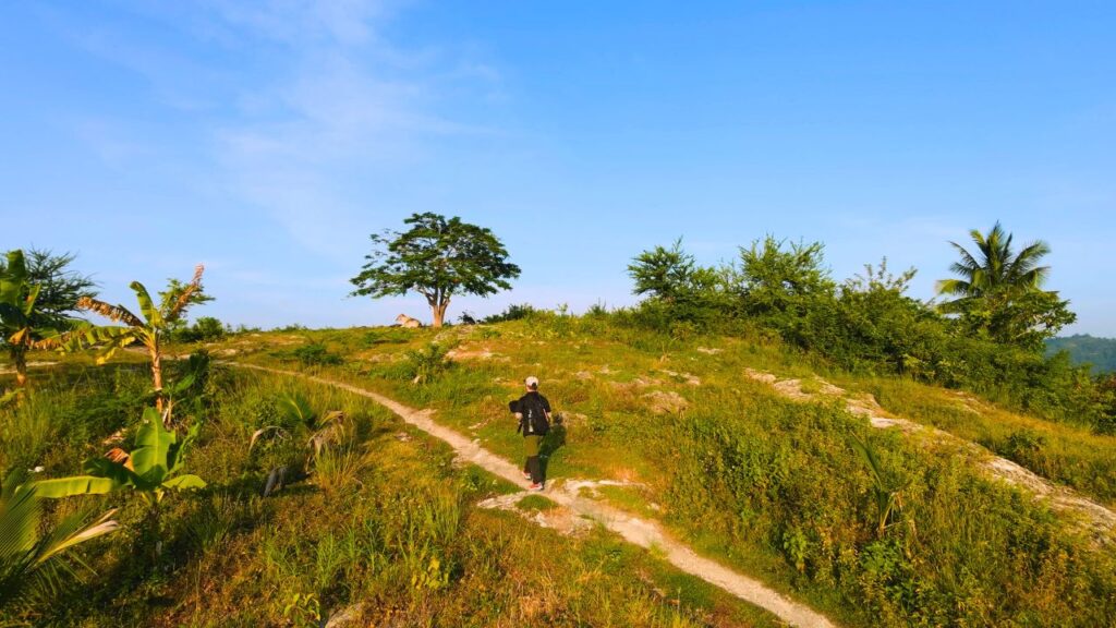
Since the jump-off point sits on top of the mountain, I began with a continuous 1.22 km descent toward the lowlands. The footpath was covered with loose scree and razor-sharp rock surfaces, requiring careful footing on the way down.
At the bottom of the hill, the trail intersected the active Metro Cebu Expressway project, where I walked through dirt, dust, and mud near large construction machinery. After passing the construction corridor, the route turned uphill along the road, leading through several residential communities before returning to Pangilatan Peak to complete the loop.
Trail Conditions
The weather remained sunny throughout the morning, and trail surfaces stayed completely dry. Tree cover was limited, leaving most of the route exposed to the sun. Small local stores were open near the communities along the back half of the loop, though carrying at least 2 liters of water was necessary.
I ran into high insect activity along the footpaths, and the crowd consisted mostly of locals, along with a few joggers and hikers near Pangilatan Peak. Approximately 60% of the route followed dirt and rock trails, while the remaining 40% consisted of roads.
Additional Notes
Dogs were present in large numbers along the trails and near the settlements, making a trekking pole especially helpful both for stability on the loose rock and for keeping animals at a distance. Although the sweeping valley landscape remained broad and open, morning haze kept the view from looking as crisp as on my previous visit.
Early morning hikers and joggers mostly used the concrete road leading to the peak, while others continued onto the mountain path to finish their hike.
Continue exploring
Data sources: Field Documentation · Open-Meteo Forecast