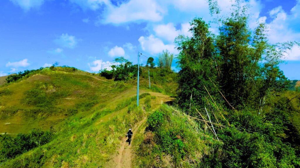
One of the most consistent patterns across the documented trail archive is the limited amount of shade.
Rather than winding through dense forest from beginning to end, many routes cross farmland, rolling hills, ridgelines, grazing areas, and other open landscapes where mature tree cover is limited. Long stretches of direct sun are a familiar part of many hikes.
Where the Shade Disappears
This pattern appears across different parts of Cebu.
The Cabanbanan Community Trail Loop crosses rolling farmland with little continuous canopy, while the Camp 7 Farm Trails follow exposed countryside for much of the route. On the Bitlang Trail, extended sections also pass through open terrain before descending toward the valley.
Although each hike has its own landscape, limited shade appears often enough across the documented routes to become a recurring characteristic rather than an exception.
Why Many Trails Are Open
Many of these routes are not forest trails in the traditional sense.
Instead, they follow existing community paths through agricultural land, grazing areas, ridgelines, and rural access routes. Because these trails were established for everyday use rather than recreation, continuous tree cover is often absent along large portions of the walk.
The result is a hiking environment where open skies and wide views are encountered as often as forested sections.
A Different Kind of Mountain Landscape
The recurring lack of shade also shapes how many Cebu trails feel.
Rather than remaining beneath a continuous canopy, hikers often move between open hillsides, cultivated land, small patches of woodland, and occasional clusters of trees. The landscape changes gradually, with forests becoming one part of the journey rather than the dominant setting.
Across the documented archive, this mix of open countryside and mountain scenery appears more frequently than long, uninterrupted forest walks.
Not Every Trail Is the Same
Some routes remain heavily shaded, while others spend much of the day in direct sunlight. The balance varies from one hike to another.
These observations describe recurring conditions found across the documented trails rather than every hiking route in Cebu.