The Buot-Guila-Cabatbatan-Samboryo Trail Loop is a 12.75-kilometer loop through Buot-Taup, Guila-Guila, Babag Ridge, Dam-an, Cabatbatan, and Samboryo in Cebu City. I started near the suspended community bridge by the Barangay Buot-Taup Hall and initially followed the road toward Guila-Guila before climbing toward Babag Ridge and continuing through the mountain sections.
About 45% of the route was trail and 55% unpaved or concrete road, with moderate shade and many stores near the communities. I did this hike in August 2026 on a cloudy-sunny morning, and the trail was dry, with very few insects and almost no human traffic once I reached the high mountain sections.
Trail Snapshot
Access
I parked my motorcycle near the suspended bridge by the Barangay Buot-Taup Hall. There was no parking fee, and the road to the area was concrete. Public transportation was limited, while habal-habal and private vehicle access were available.
Because the loop exits back at the bridge, I first had to hike about 3.4 kilometers toward Guila-Guila. From there, I passed through a small hillside community and relied on directions from friendly locals to find the way.
Why this trail is rated Mild
Route Description
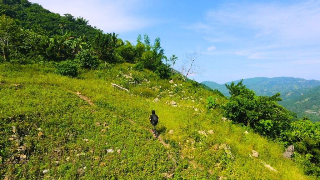
The ascent began immediately after the Guila-Guila hillside community and continued steadily toward Babag Ridge. Some sections were already being reclaimed by thick vegetation despite the recent Pamutan Trailfest 2026, and I noted that these portions could become difficult to follow within a few months.
Near the approach to Babag Ridge, farming activity kept the pathways clearer and more maintained. I then continued descending through the mountain sections toward Dam-an and Cabatbatan before ascending again toward Samboryo.
Along the way, I passed hillside farms and roadside plantings of cassava, corn, eggplant, and banana. Several concrete spring catchments had also been built across the agricultural areas for irrigation.
Two large cows blocked the pathway at one point, so I had to negotiate my way around them. I also passed two sections with heavy tree canopies that gave solid shade: one after Babag Ridge toward Dam-an and another near Samboryo on the way back toward Buot-Taup.
Trail Conditions
The trail was dry during my hike. Shade coverage was moderate overall, with the two heavily canopied sections providing more substantial cover. I encountered only a few insects throughout the route.
Stores were common near the communities, while the higher mountain sections had very few structures. Most houses were concentrated along the main roads on the lower hillsides.
Notes
I encountered dense groups of dogs near residential areas, but the open mountain sections were completely clear of animals. Human traffic was also limited: I met locals during the initial ascent in Guila-Guila and around the road crossings toward Dam-an, Cabatbatan, and Samboryo, but saw no other people on the high mountain trail.
Several stretches had moderate to high cliff exposure, although thick foliage largely hid the drop-offs. The route also had two large cows occupying the trail during my passage.
The descent toward Samboryo also showed how the route changes when approached from the opposite direction. From Buot-Taup toward Samboryo, the same section would involve a sustained climb on a narrow, rocky track.
Continue exploring
Data sources: Field Documentation · Open-Meteo Forecast