The Buot–Samboryo–Babag Ridge–Guila Trail is a roughly 7.58 km point-to-point hike in the Buot-Taup area of Cebu City, with paved-road access at both ends. I followed a shorter reverse variation of my earlier Buot–Guila-Guila–Cabatbatan–Samboryo Trail Loop, including about 2.72 km of previously unvisited trail that I refer to here as the Phase 1 Babag Ridge Trail.
Much of the ridge was open and covered in cogon grass, while several sections closer to the communities passed under better tree cover. I did this hike in September 2026.
Trail Snapshot
Access
I left my motorcycle near the suspended bridge close to the Barangay Buot barangay hall, where I did not pay a parking fee. From there, I crossed the bridge and started the ascent toward Samboryo. Public transport in the area is limited, although habal-habal and private vehicle access are available.
Why this trail is rated Mild
Route Description
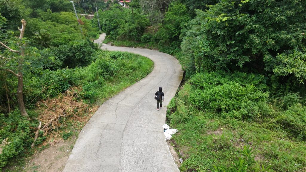
From the bridge, I climbed toward Samboryo for approximately 2.41 km. Early in the hike, the trail widened enough to resemble an unpaved road, but that section ended abruptly and narrowed again into a rocky ascending path.
The climb continued to a junction where one trail descended toward Cabatbatan and the other continued onto the Babag Ridge Trail. This ridge section covered approximately 2.72 km, beginning around km 2.16 and ending near km 4.88 of the hike.
I passed small clusters of communities during the earlier part of the route but did not see extensive farming there. A few goats and cows were beside or near the trail. I also noticed relatively few dogs until I reached Barangay Guila-Guila near the end of the hike, where I began seeing larger groups.
Some of the first sections of the Babag Ridge Trail had good tree cover extending for several meters. Most of the ridge, however, remained relatively open, with little tree cover and cogon grass across much of the surrounding ground.
The path itself was generally well-trodden and easy to follow. Despite the mountain setting, I saw little vegetation growing across the trail, and the route appeared to receive regular use from local residents and livestock.
Trail Conditions
The trail was dry during this hike, with cloudy to sunny conditions in the morning. I spent roughly 81% of the route on trail and 19% on road. Insect activity was low, and most of the people I saw were local residents.
Stores were available near the communities along the route. I also saw small spring catchments, particularly around Guila-Guila, where hoses had been connected to spring sources so water could flow downhill toward homes by gravity.
Notes
Pig raising was especially noticeable along this route. Compared with other hiking routes I have visited, I passed more households or areas where pigs were being raised.
Continue exploring
Data sources: Field Documentation · Open-Meteo Forecast