Fieldwork

The Role of Habal-Habal Drivers During a Hike

Most hikes documented on beesayatv are loops or out-and-back routes. These usually return to the same starting point, so habal-habal transport is not normally part of the plan. There are times, however, when a route begins or ends far from regular public transport, or when a planned loop has to be cut short. In these […]
How the Smart LTE Layer Is Collected

Updated: How the Smart LTE Layer Is Collected

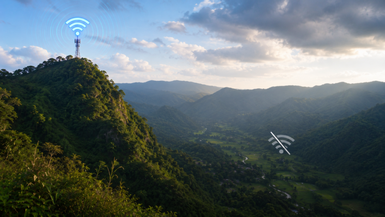
Mobile signal is one of the things that can change significantly across mountain trails. Some sections maintain a usable connection, while others lose service only a short distance later. The Smart LTE layer on beesayatv is built from actual field observations collected during hikes. Rather than relying on estimated coverage maps, it documents the cellular […]

Familiarity Builds Confidence

Familiarity Builds Confidence

Familiarity Builds Confidence Many hikers naturally seek new destinations. Exploring unfamiliar trails is part of what makes hiking rewarding. Yet returning to the same trail often offers something just as valuable. With each visit, uncertainty becomes a little smaller. Confidence Comes From Repetition The first visit to a trail often involves constant observation. Junctions require […]

Why Ordinary Places Are Also Documented

Ordinary Places Along the Trail

Most hiking photos naturally focus on the summit, the waterfall, or the viewpoint. Yet on many trails, these places make up only a small part of the day. Much of the journey passes through community footpaths, farms, quiet forests, narrow mountain paths, and other landscapes that rarely become the focus of hiking media. These places […]

The People Along the Trail

The People Along the Trail

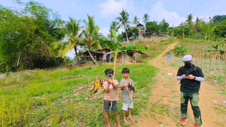
Many hiking trails in Cebu pass through places where people live and work rather than through isolated forest. Along these community routes, it is common to see farmers tending crops, residents walking between sitios, children traveling to and from school, or families going about their daily routines. While these moments rarely appear in hiking photos […]

Observing the Weekend Hiking Corridor Between Labangon and Pamutan

Observing the Weekend Hiking Corridor Between Banawa and Pamutan

Weekend mornings often follow a familiar pattern along the route between Banawa and Barangay Pamutan. Many hikers begin near Paseo Arcenas before walking through nearby residential areas, passing the Good Shepherd Celestial Garden, and stopping at the Starbuks viewpoint. Some turn back there, while others continue through the Spartan Trail before emerging in Pamutan. Taken […]

Community Trails Are A Defining Feature

Community Trails Are a Defining Feature

Hiking trails are often imagined as routes that leave towns behind and disappear into the mountains. Across many documented hikes in Cebu, a different pattern appears. Instead of passing through isolated wilderness from beginning to end, many routes follow footpaths that local residents use every day. The same trail walked by hikers may also connect […]

Limited Shade Is a Recurring Pattern Across the beesayatv Trail Archive

Limited Shade Is a Recurring Pattern

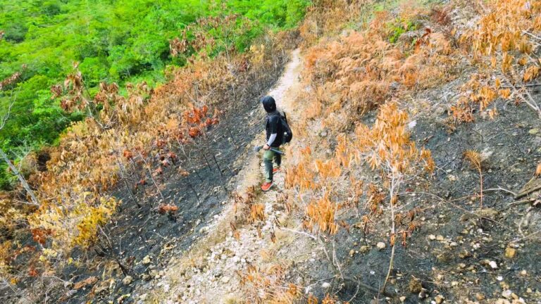
One of the most consistent patterns across the documented trail archive is the limited amount of shade. Rather than winding through dense forest from beginning to end, many routes cross farmland, rolling hills, ridgelines, grazing areas, and other open landscapes where mature tree cover is limited. Long stretches of direct sun are a familiar part […]